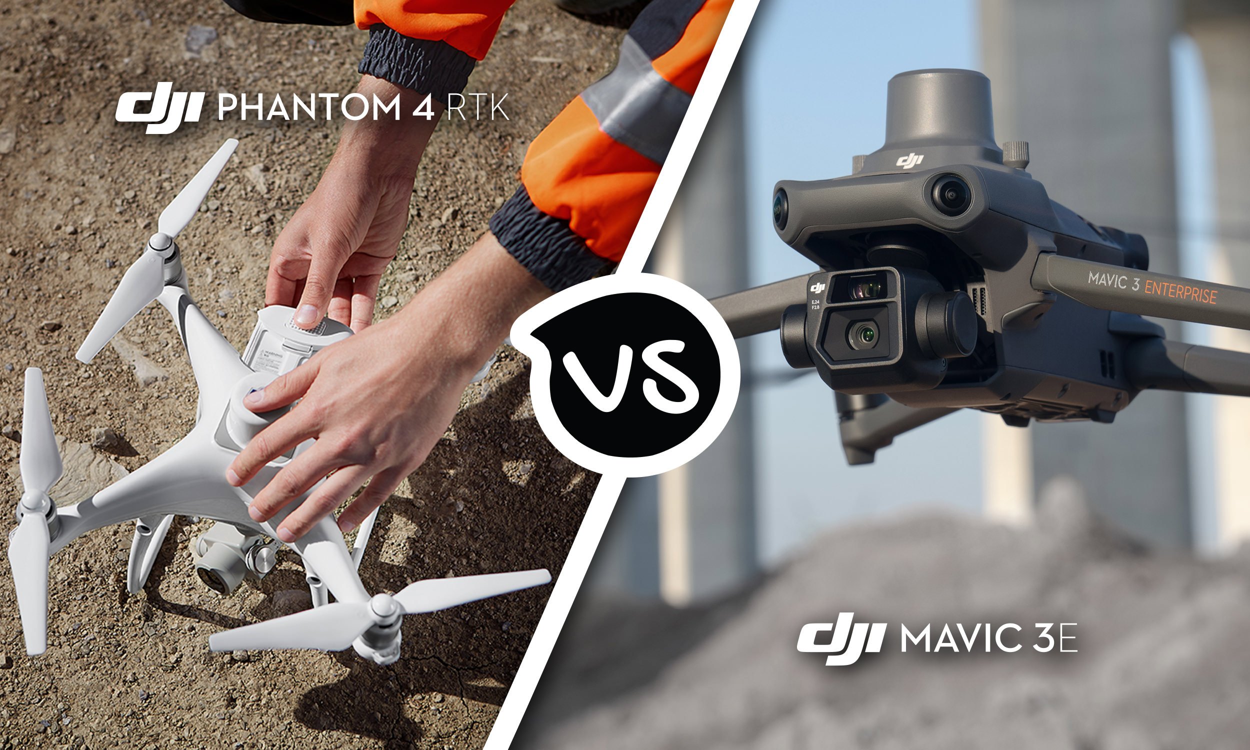
DJI Phantom 4 RTK vs DJI Mavic 3 Enterprise
When it comes to surveying, mapping, and photogrammetry, DJI has paved the way with its outstanding range of cutting edge drones. And with the release of the Mavic 3 Enterprise Series, they have set a new standard of excellence. While the DJI Phantom 4 RTK was a worthy predecessor, this new lightweight aerial surveying solution delivers higher levels of precision and accuracy – giving you greater control and project efficiency (2 hour projects have been reduced to just 15 minutes*). Read on to learn the key differences between these drones, and find out why you should upgrade to the DJI Mavic 3 Enterprise today.
Read More
Trade in your Phantom 4 and get up to $1,350 off a Mavic 3 Enterprise
Until the 15th of May, trade in your Phantom 4 and receive up to $2,300 off a brand new Mavic 3 Enterprise RRP $6,999.
Read More
POI Mode, Improved Terrain Follow: New Features Coming to Your DJI Drones
The next major firmware update for your DJI Enterprise drone is here! DJI have consolidated months of user feedback and testing into an update that packs in loads of new features for the Mavic 3 Enterprise series, Matrice 30 series, and Matrice 300 RTK professional drone platforms. Safe to say, your everyday commercial drone is now more powerful, capable, and helpful than ever.
Read More
Top 8 Features of the Mavic 3M
Farmers around the world already rely on DJI equipment to plan, manage crop health, and identify issues before they impact bottom lines. Drones have become a necessary and important tool for boosting efficiency and maximizing yields. The latest addition to our agriculture fleet is truly game-changing: Enhanced multispectral data from a platform that’s capable of much more.
Here are the top eight features of the new Mavic 3M.
Read More
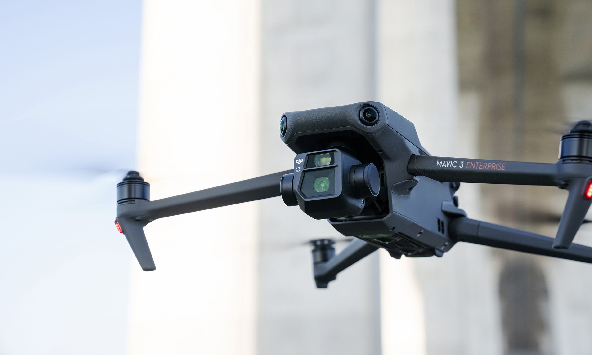
Top 7 Features of the Mavic 3 Enterprise Series
The Mavic 3E (M3E) is a compact, portable, and powerful drone for everyday operations. Whether you’re a hobbyist pilot ready to go pro or searching for a versatile platform to bolster your commercial fleet, the Mavic 3E sets a new industry benchmark.
The M3E’s features make it our most accessible and capable surveying drone to date, while a thermal version, Mavic 3T, is available for emergency, inspection, and night operations. Here are seven things that make the Mavic 3 Enterprise Series the ultimate portable and professional drone platform.
Read More
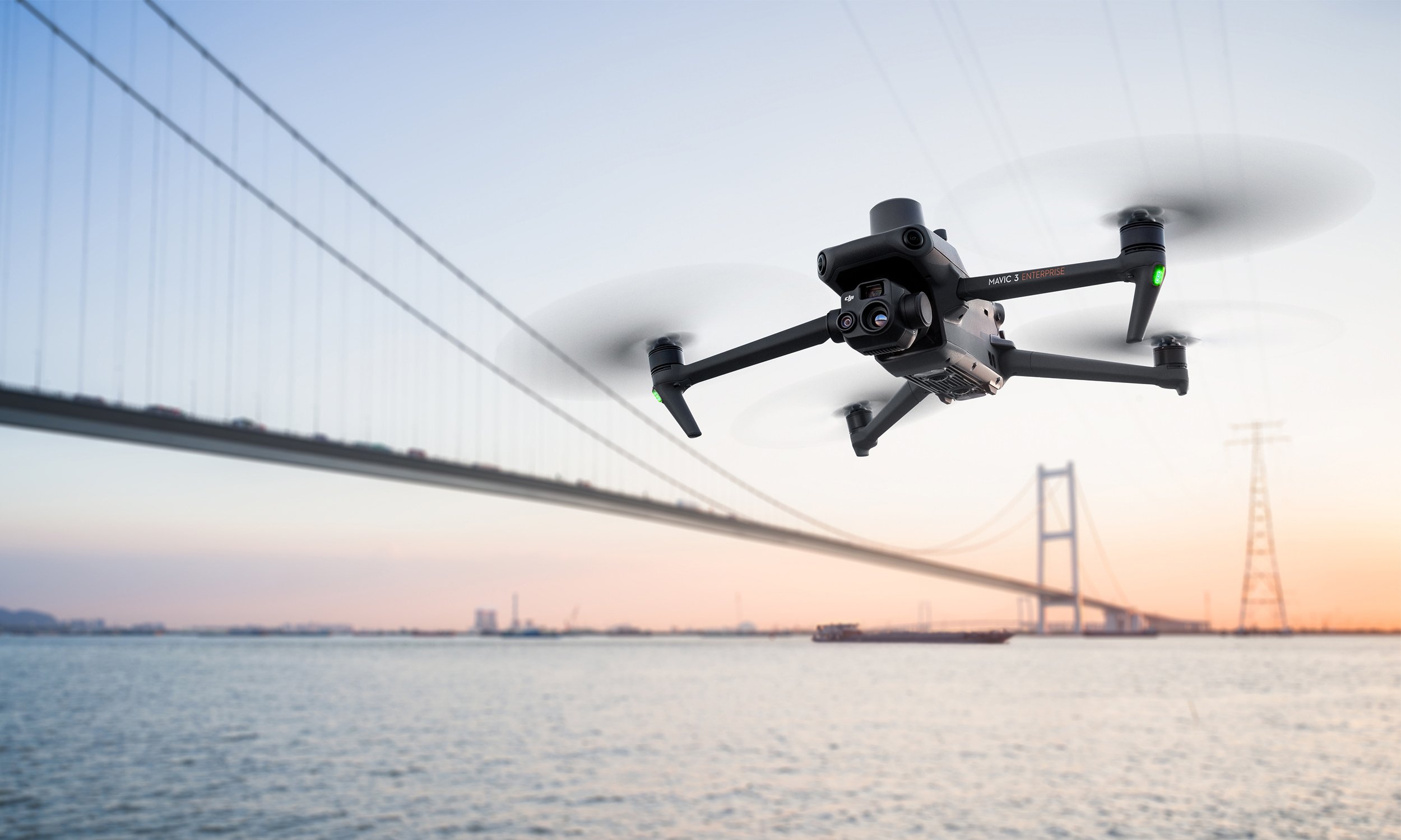
The New DJI Mavic 3 Enterprise Series Sets Ultimate Standard For Portable Commercial Drones
With A 56× Zoom Camera And RTK Module For Centimeter-Level Precision, The Mavic 3 Enterprise Series Brings Mission Efficiency To New Heights.
Read More
Why You Need A Pilot On Your Team
As more surveyors see the benefits of integrating drones into their projects, companies are now looking to train their team to take the controls themselves. Upskilling has never been easier with a breadth of new courses specifically designed to turn surveyors into competent and confident drone pilots.
Read More
Surprising Facts About Spraying Drones
Drones are now established tools in the agriculture business, boosting the productivity of farms with timely aerial data. But aside from gathering vital insights on crop health and enabling the creation of detailed NDVI and RGB maps, flying robots are taking an active role in day to day operations.
Read More
Using Point Clouds
Whenever you need to create a detailed model of an area — for surveying, accident reconstruction, or any other purpose — creating a point cloud can be the best way to get the job done.
An accurate, detailed, high-resolution 3D point cloud model is an important element in accurate 3D model creation. If your organization is seeking a new way to create digital reconstructions of physical spaces or structures, drones capable of generating point clouds may be the perfect tool for you.
Read More
IN THE FIELD WITH THE Phantom 4 Multispectral
Ferntech Commercial Solutions drone specialist Luke Johnson visited Nelson to join Jonathan Lopardo from DroneMate to conduct a case study on the Phantom 4 Multispectral. The team made some detailed and interesting insights on multispectral imaging tools. The study resulted in developing a significant guide when determining the best tool to use when trying to gain actionable agricultural insights.
Read More
Weed Control for Wheat with DJI’s Agras T16
Spring is vital for agriculture, and plowing is carried out all over China. To improve the yield of winter wheat, DJI’s Agras T16 is used for pest and weed control. Differing from the MG Series, the Agras T16 is equipped with four pumps and eight nozzles, with an increased spraying speed of 4.8 L/min, an increased volume of 16 L, and a spraying width of 6.5 m.
Read More
DJI Fighting Malaria with Drones
Malaria ranks amongst the world's deadliest diseases and has claimed over 52 billion lives. Although significant progress has been made to combat malaria with conventional techniques, more is needed to eliminate it completely. Deploying the cutting-edge Agras MG-1S drone, the DJI team partnered with the Zanzibar Malaria Elimination Programme (ZAMEP) and the local community in a novel project to reduce malaria transmission. Watch as they embark on a journey of innovation, using drones in a bid to curb this deadly disease.
Read More
DJI announces the Phantom 4 Multispectral drone
DJI introduces Phantom 4 Multispectral for precision agriculture, land management and environmental monitoring.
Read More
A barking drone on a North Canterbury farm
Farmer and customer Corey Lambeth talked to Radio New Zealand’s Checkpoint about how he utilises his “barking drone”, the Mavic 2 Enterprise, as part of his team on his North Canterbury sheep and beef farm.
Read More
The mighty Agras MG-1P for crop spraying
The DJI MG-1P is revolutionising the way farmers in New Zealand manage crops. This spraying drone dramatically increases work efficiency with the ability to pre-plan routes and control up to five aircraft at once within a 3-km range.
Read More
The Mavic 2 Enterprise can bark like a sheep dog...
The Mavic 2 Enterprise is the drone made for New Zealand Farms, equipped with modular attachments - such as a loudspeaker that can manage livestock, a powerful spotlight that can be used for low light operations, and a beacon for safety - the Mavic 2 Enterprise will change the way you farm.
Read More