DJI Phantom 4 RTK vs DJI Mavic 3 Enterprise
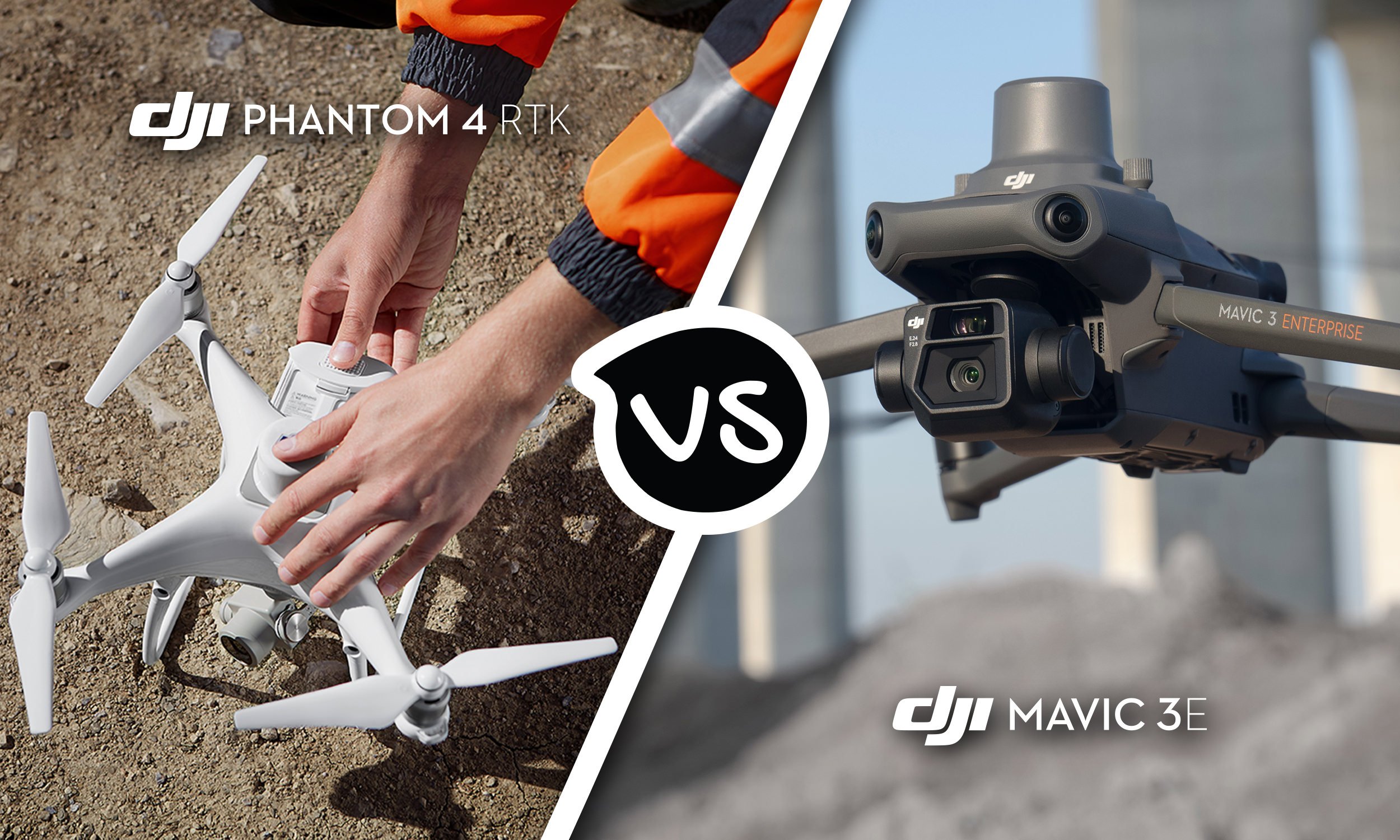
When it comes to surveying, mapping, and photogrammetry, DJI has paved the way with its outstanding range of cutting edge drones. And with the release of the Mavic 3 Enterprise Series, they have set a new standard of excellence. While the DJI Phantom 4 RTK was a worthy predecessor, this new lightweight aerial surveying solution delivers higher levels of precision and accuracy – giving you greater control and project efficiency (2 hour projects have been reduced to just 15 minutes*). Read on to learn the key differences between these drones, and find out why you should upgrade to the DJI Mavic 3 Enterprise today.
DJI Phantom 4 RTK vs DJI Mavic 3 Enterprise comparison
Before we deep dive into some of the outstanding features that come with the DJI Mavic 3 Enterprise, let’s take a quick look at the side-by specs of these two camera drones.
| Specification | DJI Mavic 3 Enterprise | DJI Phantom 4 RTK |
|---|---|---|
| Cameras | Wide camera: 4/3 CMOS, 20MP; Tele camera: 1/2 inch CMOS, 7x-56x zoom |
Wide camera: 1 inch CMOS, 20MP |
| Weight | 915 g (without accessories) | 1,391 g |
| Portability | Foldable, one hand carry | Unfoldable |
| Propeller | Integrated with aircraft, foldable | Must be installed every time |
| Max flight time | 45 minutes *42 minutes with RTK module | 30 minutes |
| Max flight speed of mapping mission | 15 m/s | 13 m/s |
| Minimum Shooting Interval | 0.7s | 2.5s |
| Max ascent speed | 6 m/s (N mode) 8 m/s (S mode) 6 m/s (mission flight) 5 m/s (manual flight) |
6 m/s (mission flight) 5 m/s (manual flight) |
| Max descent speed | 6 m/s | 3 m/s |
| Max wind speed resistance | 12 m/s | 10 m/s |
| Obstacle avoidance | Omnidirectional binocular vision system; Infrared sensor at bottom of aircraft |
Forward/rear/downward binocular vision system; Infrared sensors at two sides |
| Advanced Return To Home (RTH) | Supported | Not supported |
| APAS (Advanced Pilot Assistance System) | APAS 5.0 | Not supported |
| Waypoint | Supported | Supported |
| Real-time Terrain Follow | Supported | Not supported |
| Controller | DJI RC Pro Enterprise | Standard RC and SDK RC |
| Additional modules | Yes, including RTK Module and Loud Speaker | No |
DJI Mavic 3 Enterprise features
If you’re looking for industry-leading mapping efficiency and mission accuracy, the DJI Mavic 3 Enterprise is for you. An updated version of the already impressive DJI Mavic 3, the Enterprise comes with the following:
Real-Time Terrain Follow – you can automatically adjust altitude according to any elevation variations as you map, removing the need for external elevation data and ensuring real-time accuracy. This is the only DJI drone with this capability.
Increased efficiency – being able to capture images at 0.7s intervals dramatically reduces mapping times, so a job that used to take 2 hours to capture now only takes 15 minutes*.
Improved portability – with its compact size and 915 g weight, the Mavic 3 Enterprise is one of the industry’s lightest drones and can be held in one hand for simple transport.
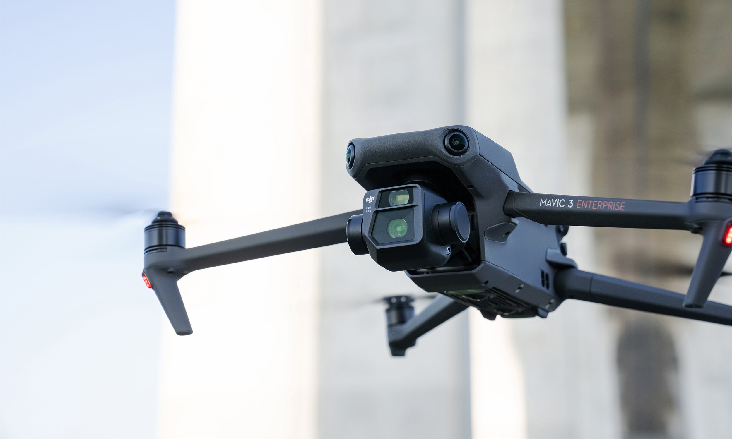
Enhanced image precision – equipped with a wide-angle 4/3 inch, 20 megapixel sensor and mechanical shutter, the Mavic 3E avoids motion blur and supports rapid 0.7-second interval shooting for more efficient mapping and surveying.
Greater low-light performance – capture better videos and images in low-light conditions with the 3E’s 3.3μm pixel camera and intelligent low-light mode.
Focus and find – capture essential details from long range with the 12MP zoom camera with 56x max hybrid zoom.
Increased endurance – survey further and for longer periods with the Mavic 3 Enterprise’s 45-minute flight duration and 2 square kilometres maximum single flight distance.
Safer flying – with wide-angle lenses on all sides for omnidirectional obstacle avoidance, and APAS 5.0 for automatic rerouting around obstacles, the Mavic 3 Enterprise allows you to fly with complete peace of mind.
Next-generation image transmission – featuring DJI’s latest Quad-antenna O3 Enterprise Transmission technology, your pilots can maintain a stronger, more stable connection as they navigate more complex terrain.
Advanced return-to-home technology – save power and time by automatically planning the most efficient, optimal routes home.
ATTI mode – in the event that vision systems become unavailable or disabled, the Mavic 3 Enterprise automatically switches to ATTI mode giving the pilot 100% control (a key competency tested in 101 or 102 certification flight tests).
We’ve already mentioned the Mavic 3 Enterprise’s improved efficiency, but what does that really look like? *In the chart below, you can see that at 1cm GSD you can capture data seven times more efficiently. A job that would take 2 hours to capture now only takes 15 minutes!

Choosing the right solution for your surveying and mapping projects can be a difficult task, and shouldn’t be taken lightly. With the DJI Mavic 3 Enterprise, you have DJI’s most accurate, efficient, and cost-effective aerial surveying drone to date. If you’d like any more information on these drone solutions, please request a demo or get in touch with our team of experts.