Introducing NextCore RN50 LiDAR for the DJI Matrice 600
Ferntech is delighted to be appointed the local agents for NextCore, and to offer their UAV LiDAR solution, the NextCore RN50 to New Zealand companies. NextCore are based in Australia and have extensive experience in the LiDAR space.

The unit mounts quickly to a Matrice 600 Pro drone.
LiDAR offers great potential on UAVs. Like photogrammetry, it allows the quick, efficient capture of spatial information in a manner that allows for accurate measurements.
There are several limitations to photogrammetry that LiDAR can mitigate:
Photogrammetry requires resource and time intensive post-processing to interpret 2D images and produce 3D outputs.
Being photography-based, it is difficult to accurately determine true terrain details when obscured by vegetation.
Small assets (such as power lines) are difficult to survey, often being missed from the model or poorly represented.
Lastly, photogrammetry requires good lighting, which isn’t always possible.
In contrast, LiDAR is an active technology — distance calculation is performed instantly by the sensor. This means point clouds are available within minutes rather than hours after landing. LiDAR also needs only one return from a surface to make it present in the point cloud. As a result, it is very effective at penetrating even the densest of canopy coverage. We’ve found that small objects, such as powerlines, are also very accurately represented.
The cloud-based processing makes producing quality, in-the-field results quick and easy.
Where good lighting is essential for photogrammetry, LiDAR provides its own light source through a laser, meaning that data can be collected in low light situations.
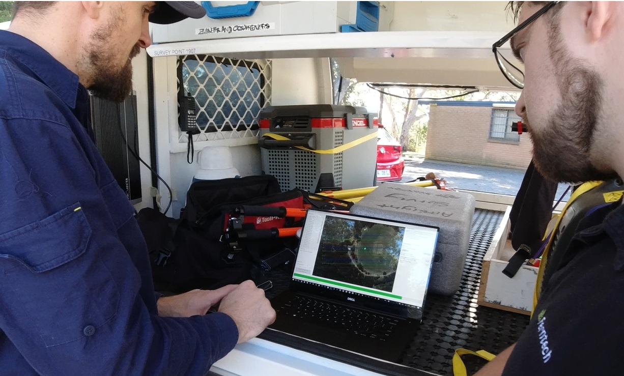
When mounted to a DJI Matrice 600, capturing data with the NextCore RN50 is a simple on-off operation. Once landed, the data is post-processed in the cloud with results provided far more quickly than traditional software. The only additional requirement is RINEX base station data, either from an on-site base or CORS data from a nearby reference station.
Now for the specs! The unit fires 420’000 shots per second with up to three returns per shot, allowing up to 1.26 million points per second to be recorded. The laser range is up to 150m @ 80% reflectivity, and laser ranging error is 30mm RMS. At an altitude of 50m, absolute accuracy is up to 50mm.
Our Commercial Solutions team are happy to talk you through the details of the new product, and whether it is the right solution for your project. Contact us on 09 399 2065 or the link below for further details and to arrange a demonstration.