High Detail Drone Mapping
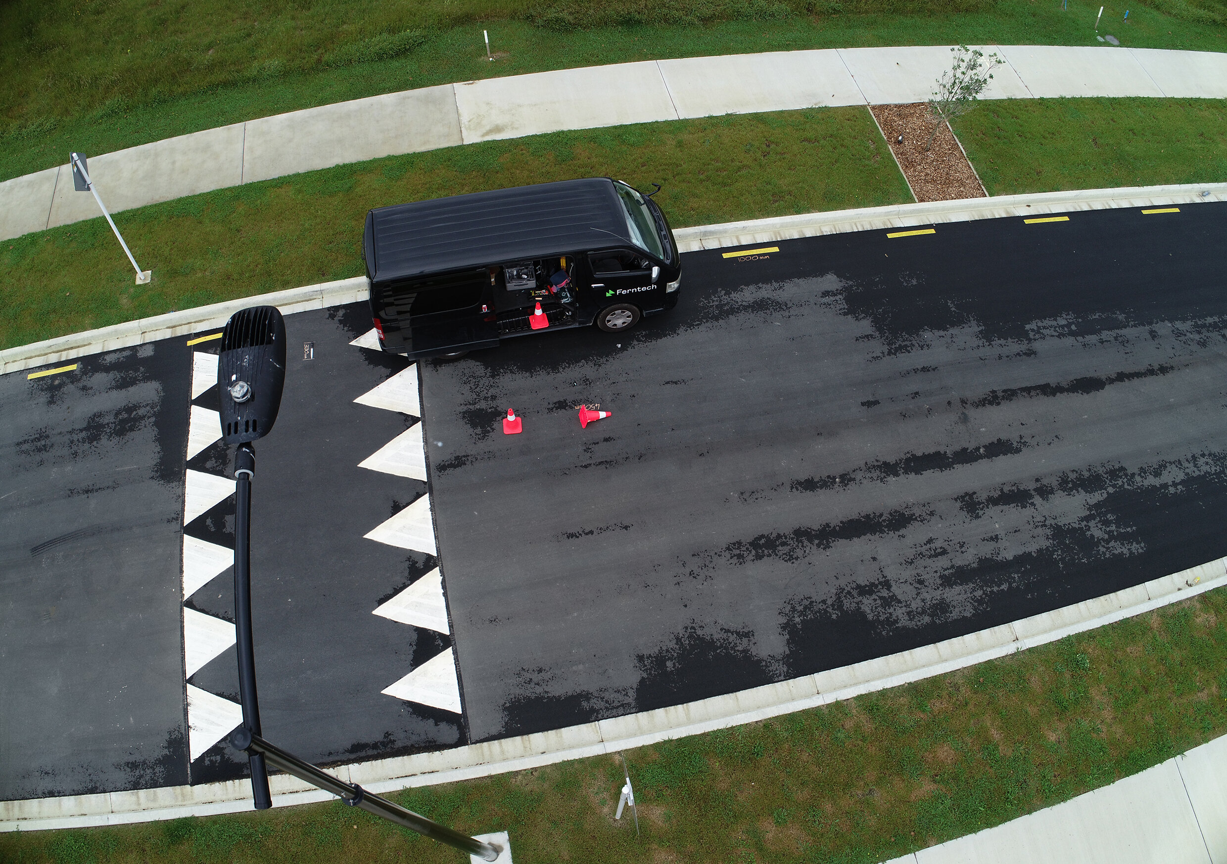
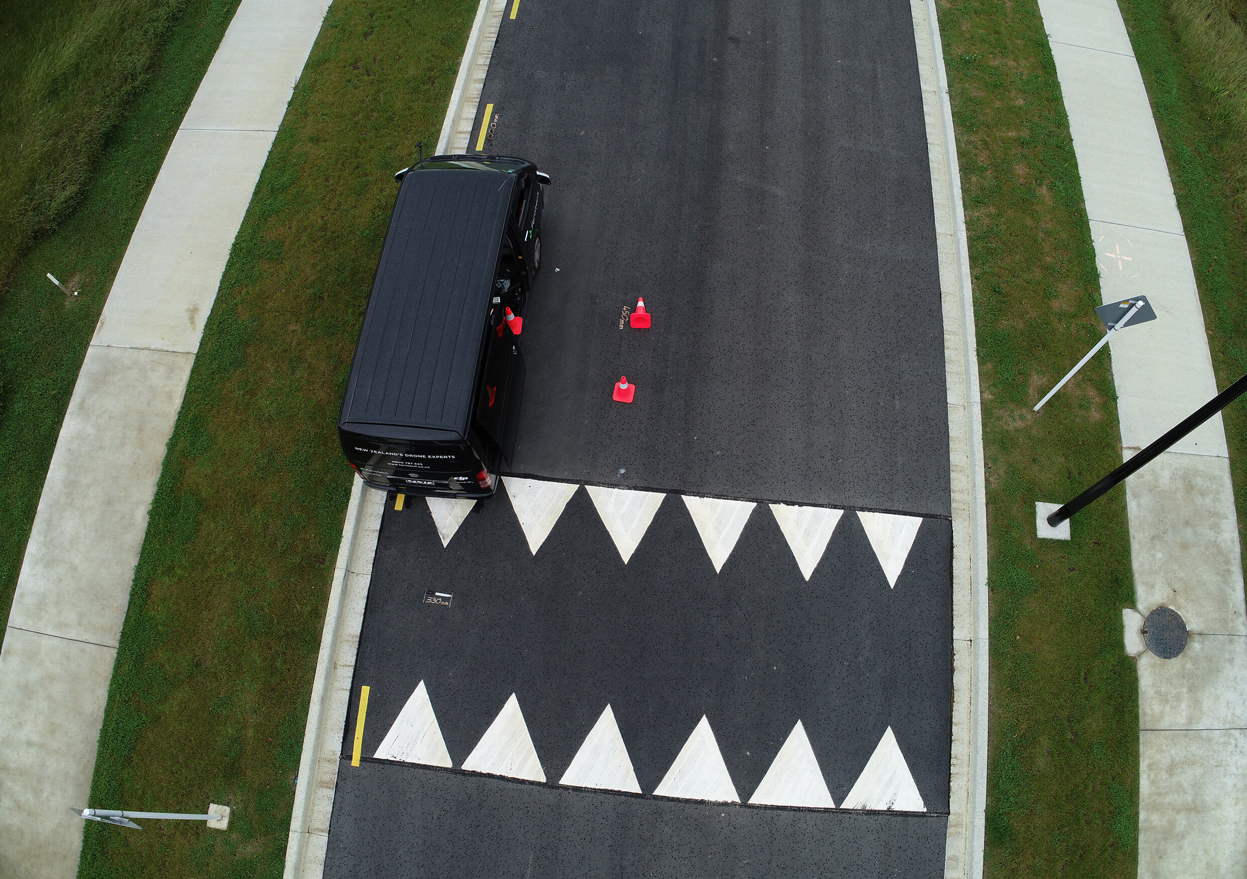
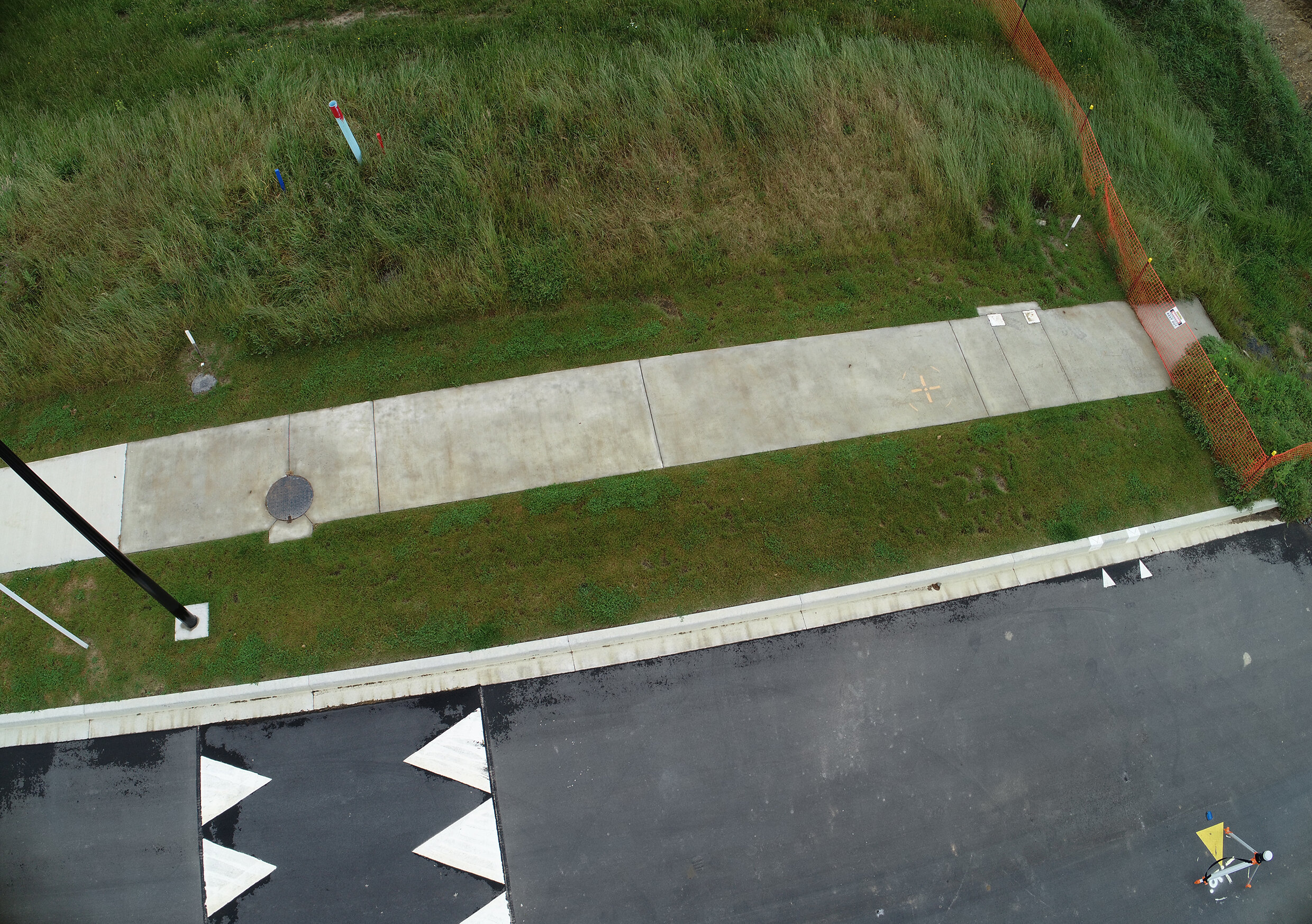
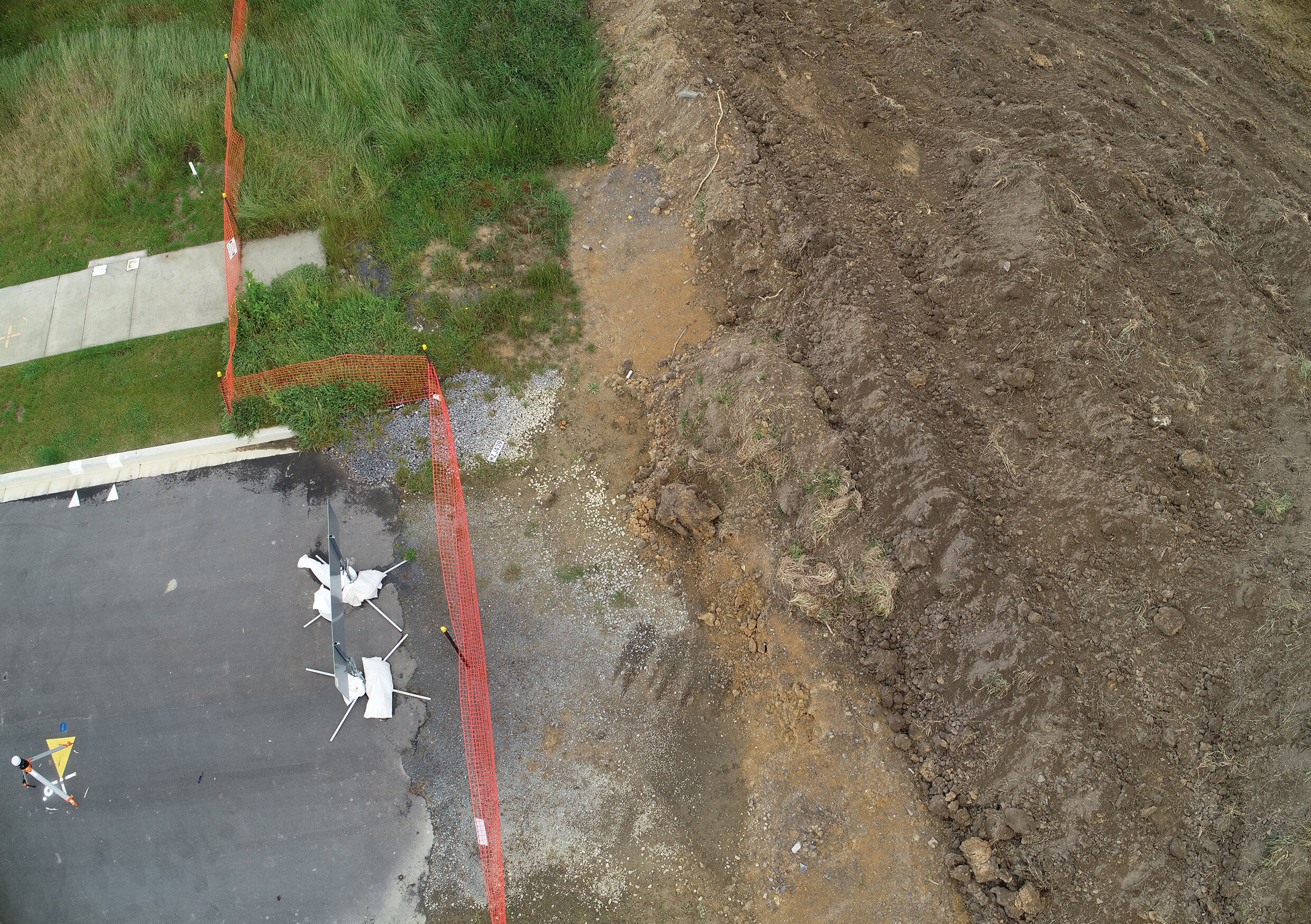
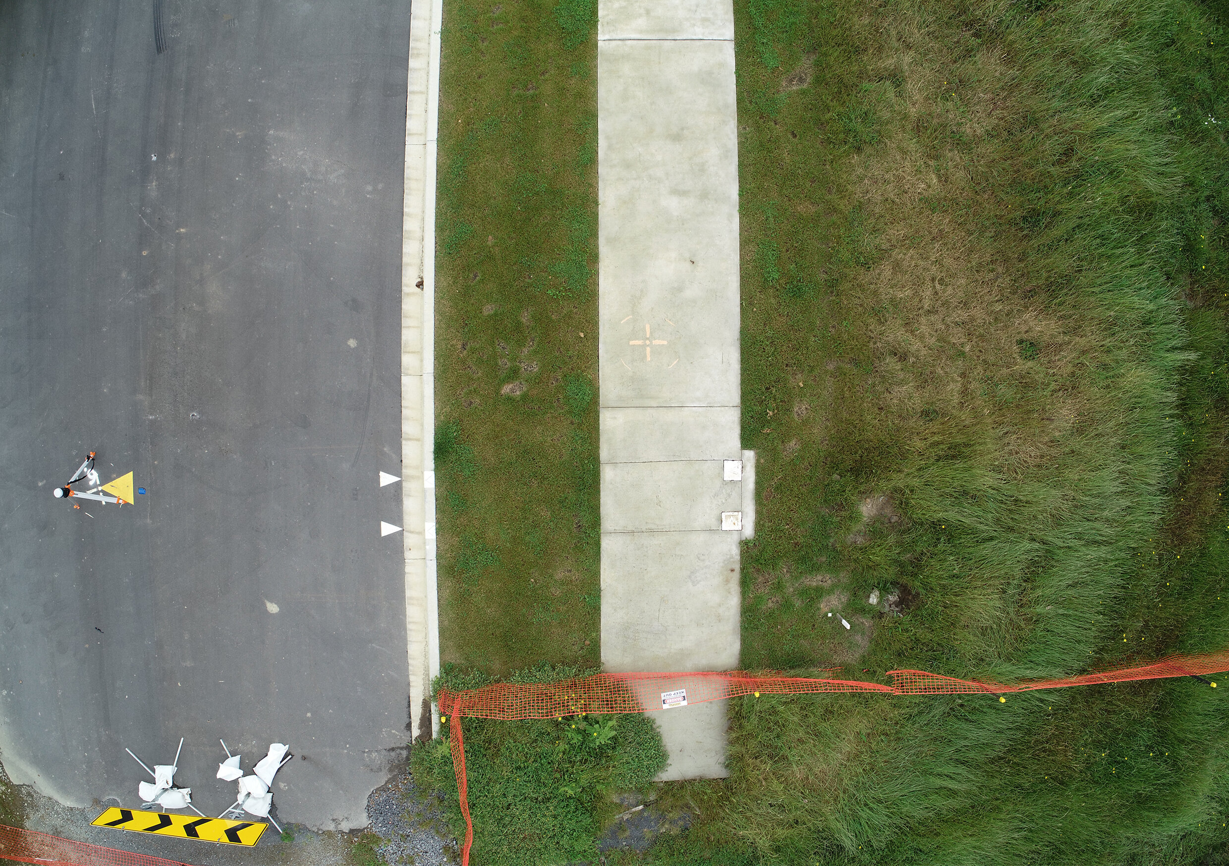
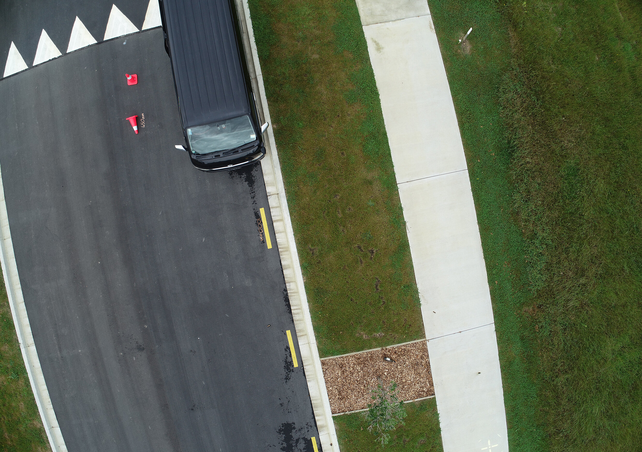
It is now easier than ever to create high accuracy and highly detailed maps and 3D models with your drone. From the above video you can see the measurement accuracy of real world items such as the knife, cone and the road markings are sub centimeter accurate.
All that is required to create these models is a suitable drone (in this case we used the Phantom 4 RTK) and photogrammetry software such as Pix4D or DJI Terra.
If you want to learn the skills required to map accurately and efficiently with your drone sign up to one of our drone survey courses.
This same method can be used on larger scale projects to gain precise measurements in fields such as, land surveying, environmental monitoring, construction, GIS, planning, design and asset management.
Start creating highly accurate maps and models now - give our team a call today to learn more.
PIX4D MAP
The image above is a 3D interactive model of the map seen in the video. Use your mouse to move the model around and view it for yourself. Hold “ctrl” on your keyboard while using your mouse to circle around a specific part of the map and scroll on your mouse to easily zoom in and out. To recenter the model click on the icon above the zoom in button.