Drone Surveying & Mapping Course
As commercial surveying and mapping drones continue to evolve, New Zealand companies are increasingly adopting this aerial technology for greater accuracy and efficiency across their projects. But in order to achieve the best results, these tools must be used correctly.
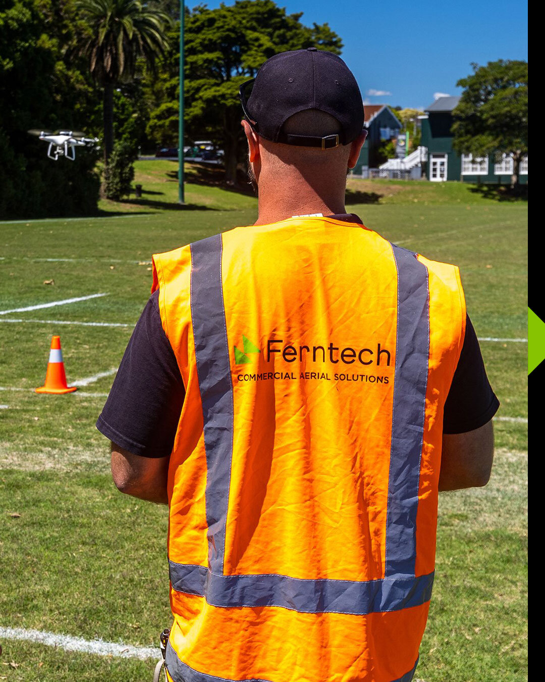
Whether you work in surveying, infrastructure, construction, forestry, mining, or any other commercial industries, this drone surveying and mapping course will provide the essential knowledge and skills required to get the most out of surveying and mapping drones for your projects.
Dates: Please click “Enrol Now” below to see current course dates.
Course duration: 2 days
Location: Auckland
Course Registration Fee: Contact for pricing
Course Details:
This course is designed to provide essential drone knowledge to capture and process real survey projects. Basic drone knowledge and flying experience is essential for this course.
Day 1 Course Objectives:
Core Concepts
Introduction to Photogrammetry
Use Cases
Limitations
Accuracy
GPS/RTK/PPK
Ground Control Points
Datums
Geoids
Craft and Payload Options
Camera Settings
Mission Planning
Mission Types
Boundaries and Margins
Ground Sampling Distance
Altitude and Resolution
Focal Length
Overlap
Terrain Following
Preflight Checks
Data Collection – On Site Field Exercise
Data Review
Day 2 – Processing & Accuracy Requirements/Checks:
Software Processing with Pix4Dmatic & Pix4Dsurvey
New Project/Import Images
Select Correct CS
Calibration/Alignment
GCP’s
MTP’s
Realignment/Reoptimise
Densify Point Cloud
Depth Point Cloud
Point Cloud Fusion
Generate Mesh
Generate DSM
Generate Orthomosaic
Prerequisites:
You must have basic knowledge and experience flying a drone before taking this course – it is tailored towards those wanting to take their skills and knowledge on drones to the next level.
Capable Craft – To practice before the course and implement the course learnings once complete.
Capable Computer – To follow along during the course and to begin processing after the course. We can arrange software licenses for the course.
What to Bring
DJI Ferntech will have a drone available for the data capture on Day 1, but it will be ideal if you can bring your own. It is highly recommended that you bring your own laptop.
Lunch and coffee will be provided, we recommend bringing a water bottle.
Keep up to date with new courses, drone technology news and industry breakthroughs, follow us on social media and sign-up on our newsletter.